
File:Sri Lanka location map.svg
Size of this preview: 313 × 479 pixels.
| |
This is a file from the Wikimedia Commons. Information from its description page there is shown below.
Commons is a freely licensed media file repository. You can help. |
Summary
| Description |
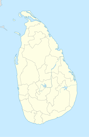
English: Location map of Sri Lanka.
Equirectangular projection. Strechted by 101.0%. Geographic limits of the map:
|
| Date | 18 February 2010 |
| Source | Own work |
| Author | Uwe Dedering |
Licensing
|

File usage
The following pages on Schools Wikipedia link to this image (list may be incomplete):
Metadata
Learn more about Schools Wikipedia
Wikipedia for Schools is one of SOS Childrens Villages' many educational projects. SOS Children helps those who have nothing and no one, giving them back the famly they have lost and bringing them the very best opportunities for a happy, healthy future. You can help by sponsoring a child.