
File:Aruba map.png
Aruba_map.png (326 × 351 pixels, file size: 7 KB, MIME type: image/png)
| |
This is a file from the Wikimedia Commons. Information from its description page there is shown below.
Commons is a freely licensed media file repository. You can help. |
Summary
 |
This map image could be recreated using vector graphics as an SVG file. This has several advantages; see Commons:Media for cleanup for more information. If an SVG form of this image is already available, please upload it. After uploading an SVG, replace this template with {{ vector version available|new image name.svg}}. |
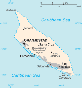
Español: Mapa de Aruba
 |
This image is in the public domain because it contains materials that originally came from the United States Central Intelligence Agency's World Factbook.
|
 |
(Delete all revisions of this file) (cur) 21:32, 24 May 2005 . . Hoshie (Talk) . . 329x354 (7769 bytes) (Updated map of Aruba from 2005 Factbook)
(del) (rev) 23:06, 29 November 2002 . . Scipius (Talk) . . 330x355 (4678 bytes) (Factbook map of Aruba)
derivative works
Derivative works of this file:
File usage
The following pages on Schools Wikipedia link to this image (list may be incomplete):
Find out about Schools Wikipedia
SOS Children chose the best bits of Wikipedia to help you learn. By supporting vulnerable children right through to adulthood, SOS Children makes a lasting difference to the lives of thousands of people. Education is a key part of our work, and our schools provide high-quality teaching to the children in our care. Why not try to find out more about sponsoring a child?