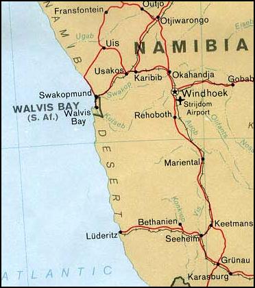
File:Walvis Bay map.jpeg
Walvis_Bay_map.jpeg (372 × 420 pixels, file size: 34 KB, MIME type: image/jpeg)
File usage
The following pages on Schools Wikipedia link to this image (list may be incomplete):
Wikipedia for Schools...
SOS Children has brought Wikipedia to the classroom. More than 2 million people benefit from the global charity work of SOS Childrens Villages, and our work in 133 countries around the world is vital to ensuring a better future for vulnerable children. You can help by sponsoring a child.


