
File:Rakahanga.jpg
Size of this preview: 407 × 480 pixels.
| |
This is a file from the Wikimedia Commons. Information from its description page there is shown below.
Commons is a freely licensed media file repository. You can help. |
Summary
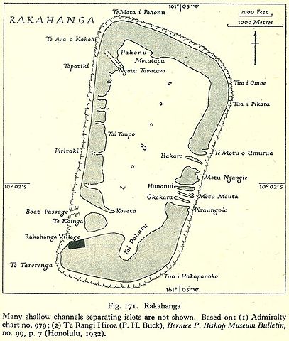
| Description | English: Map of Rakahanga Atoll, Northern Cook Islands
|
| Date | 1943 |
| Source | http://www.lib.utexas.edu/maps/historical/pacific_islands_1943_1945/rakahanga.jpg |
| Author | US Army |
Licensing
 |
This file is in the public domain, because it has been taken from a collection of public domain maps at the University of Texas Library'' In case this is not legally possible:
|
File usage
The following pages on Schools Wikipedia link to this image (list may be incomplete):
Metadata
Learn more about Schools Wikipedia
SOS Childrens Villages aims to make Wikipedia suitable for young learners. More than 2 million people benefit from the global charity work of SOS Childrens Villages, and our work in 133 countries around the world is vital to ensuring a better future for vulnerable children. Why not try to find out more about sponsoring a child?