![This image is not present because of licensing restrictions](../../images/1x1white.gif) |
This is a file from the Wikimedia Commons. Information from its description page there is shown below. Commons is a freely licensed media file repository. You can help.
|
Summary
Description |
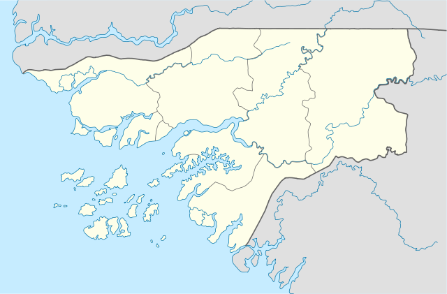
Deutsch: Positionskarte von Guinea-Bissau
Quadratische Plattkarte. Geographische Begrenzung der Karte:
- N: 12.9° N
- S: 10.6° N
- W: 16.9° W
- O: 13.4° W
English: Location map of Guinea-Bissau
Equirectangular projection. Geographic limits of the map:
- N: 12.9° N
- S: 10.6° N
- W: 16.9° W
- E: 13.4° W
|
Date |
20 February 2009 |
Source |
own work, using
- United States National Imagery and Mapping Agency data
- World Data Base II data
|
Author |
NordNordWest |
This map has been made or improved in the German Kartenwerkstatt (Map Lab). You can propose maps to improve as well.
Licensing
I, the copyright holder of this work, hereby publish it under the following licenses:
![GNU head](../../images/0/30.png) |
Permission is granted to copy, distribute and/or modify this document under the terms of the GNU Free Documentation License, Version 1.2 or any later version published by the Free Software Foundation; with no Invariant Sections, no Front-Cover Texts, and no Back-Cover Texts. A copy of the license is included in the section entitled GNU Free Documentation License. http://www.gnu.org/copyleft/fdl.htmlGFDLGNU Free Documentation Licensetruetrue
|
![w:en:Creative Commons](../../images/0/31.png)
![attribution](../../images/0/32.png) |
This file is licensed under the Creative Commons Attribution 3.0 Unported license. |
|
|
- You are free:
- to share – to copy, distribute and transmit the work
- to remix – to adapt the work
- Under the following conditions:
- attribution – You must attribute the work in the manner specified by the author or licensor (but not in any way that suggests that they endorse you or your use of the work).
http://creativecommons.org/licenses/by/3.0 CC-BY-3.0 Creative Commons Attribution 3.0 truetrue
|
You may select the license of your choice.
|
File usage
The following pages on Schools Wikipedia link to this image (list may be incomplete):
This file contains additional information, probably added from the digital camera or scanner used to create or digitize it. If the file has been modified from its original state, some details may not fully reflect the modified file.
This selection has made Wikipedia available to all children. SOS Children's Villages is a global charity founded in 1949 to give children who have lost everything the childhood they deserve. Would you like to sponsor a child?