
File:Banjul districts.png
Size of this preview: 621 × 480 pixels.
| |
This is a file from the Wikimedia Commons. Information from its description page there is shown below.
Commons is a freely licensed media file repository. You can help. |
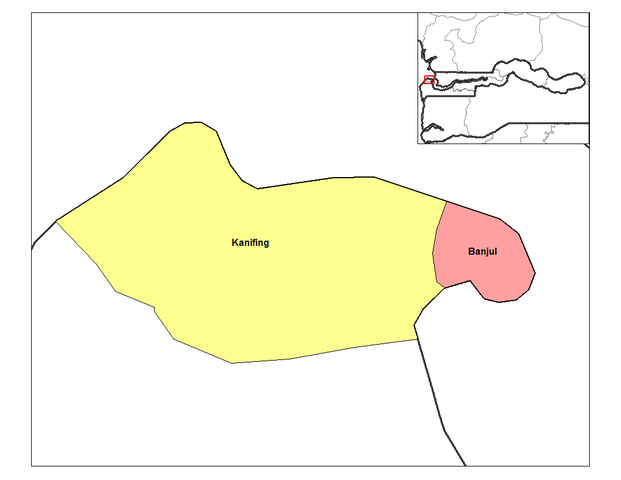
| Description | English: Map of the districts of Banjul division in The Gambia. Created by Rarelibra 16:43, 14 September 2006 (UTC) for public domain use, using MapInfo Professional v8.5 and various mapping resources.
|
| Date | 14 September 2006 (original upload date) |
| Source | Transferred from en.wikipedia; transferred to Commons by User:Sreejithk2000 using CommonsHelper. |
| Author | Original uploader was Rarelibra at en.wikipedia |
| Permission ( Reusing this file) |
Released into the public domain (by the author). |
Licensing
 |
This work has been released into the public domain by its author, Rarelibra at the wikipedia project. This applies worldwide. In case this is not legally possible: |
 |
This map image could be recreated using vector graphics as an SVG file. This has several advantages; see Commons:Media for cleanup for more information. If an SVG form of this image is already available, please upload it. After uploading an SVG, replace this template with {{ vector version available|new image name.svg}}. |
File usage
The following pages on Schools Wikipedia link to this image (list may be incomplete):
What is Schools Wikipedia?
SOS Childrens Villages aims to make Wikipedia suitable for young learners. SOS Children's Villages is there for the children in our care until they are ready for independence. Will you help another child today?