
File:Tanzania location map.svg
| |
This is a file from the Wikimedia Commons. Information from its description page there is shown below.
Commons is a freely licensed media file repository. You can help. |
Summary
| Description |
Afrikaans: Liggingkaart van af:Tanzanië
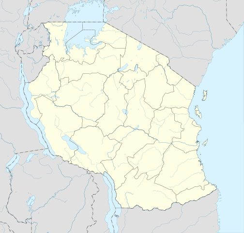
English: Location map of en:Tanzania
Français : Carte de géolocalisation de la fr:Tanzanie
Español: Mapa de georreferenciación de es:Tanzania Equirectangular projection. 0.25° N, 28° W, 42° E, -13° S. Centre : -6.375 35 |
| Date | 2009-05-01 19:32 (UTC) |
| Source |
|
| Author |
|
|
Object location |
|
This and other images at their locations on: Google Maps - Google Earth - OpenStreetMap - Proximityrama | ( Info) |
|---|
| This is a retouched picture, which means that it has been digitally altered from its original version. Modifications: Cropped, and prepared for geolocation.. The original can be viewed here: Tanzania_map-fr.svg. Modifications made by Sémhur.
|
This map was improved or created by the Wikigraphists of the Graphic Lab (fr). You can propose images to clean up, improve, create or translate as well.
বাংলা | català | česky | Deutsch | Deutsch (Sie-Form) | Ελληνικά | English | Esperanto | español | suomi | français | עברית | magyar | Հայերեն | italiano | 한국어 | македонски | Bahasa Melayu | Plattdüütsch | Nederlands | occitan | polski | português | română | русский | slovenščina | svenska | татарча/tatarça | Türkçe | українська | 中文 | 中文(简体) | 中文(繁體) | Zazaki | +/−
|
|
This vector image was created with Inkscape. |
Licensing
|

File usage
The following pages on Schools Wikipedia link to this image (list may be incomplete):
Metadata
Find out more
SOS Childrens Villages aims to make Wikipedia suitable for young learners. SOS Children's Villages helps those who have nothing and no one, giving them back the famly they have lost and bringing them the very best opportunities for a happy, healthy future. There are many ways to help with SOS Children's Villages.