
File:Paris RER.svg
Size of this preview: 583 × 480 pixels.
| |
This is a file from the Wikimedia Commons. Information from its description page there is shown below.
Commons is a freely licensed media file repository. You can help. |
You can zoom! Use a software like Inkscape to edit, or like Opera or Mozilla Firefox to view.
Vous pouvez agrandir ! Utilisez un logiciel tel Inkscape pour éditer les fichiers .svg ou un navigateur comme Opera ou Mozilla Firefox pour les lire.
PNG version available here: Image:Paris RER.png
| Description |
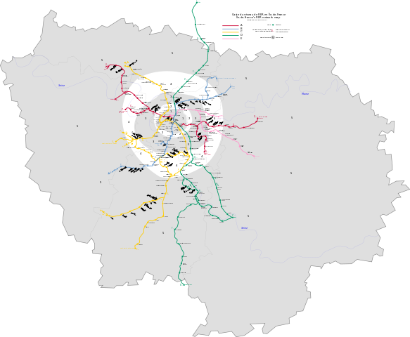
English: This is an Île de France's RER network map, in scalable vector graphics format, including fare zones, rivers and mission codes.
Français : Ceci est une carte du réseau de RER en Île de France au format vectoriel, comprenant les zones tarifaires, fleuves et codes-mission.
|
||||||||||||||
| Date | 9 July 2006 | ||||||||||||||
| Source | Données géographiques du domaine public Geographical data in public domain |
||||||||||||||
| Author | Benoit Mortgat ( User page/Page utilisateur) | ||||||||||||||
| Permission ( Reusing this file) |
|

File usage
The following pages on Schools Wikipedia link to this image (list may be incomplete):
Metadata
I want to learn more...
SOS Children's Villages chose the best bits of Wikipedia to help you learn. The world's largest orphan charity, SOS Childrens Villages brings a better life to more than 2 million people in 133 countries around the globe. Try to find out how you can help children in other countries on our web site.