
File:Globe.svg
Size of this preview: 480 × 480 pixels.
| |
This is a file from the Wikimedia Commons. Information from its description page there is shown below.
Commons is a freely licensed media file repository. You can help. |
Summary
| Description |
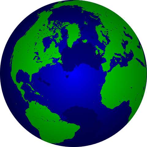
English: The earth ( orthographic projection centered on 40° N, 40° W)
Français : La terre ( projection orthographique centrée sur 40° N, 40° W)
Deutsch: Die Erde ( orthographische Projektion zentriert auf 40° N, 40° W)
Nederlands: De aarde ( orthografische projectie gecentreerd op 40° N, 40° W)
|
| Date | 5 April 2007 (upload date) |
| Source | Own work, based on shoreline data from GSHHS ("crude" level), a public-domain source. |
| Author | The original uploader was Augiasstallputzer at Wikimedia Commons |
![]() ✓ The source code of this SVG is valid.
✓ The source code of this SVG is valid.
Licensing
 |
I, the copyright holder of this work, release this work into the public domain. This applies worldwide. In some countries this may not be legally possible; if so: I grant anyone the right to use this work for any purpose, without any conditions, unless such conditions are required by law.
|
derivative works
Derivative works of this file:
File usage
The following pages on Schools Wikipedia link to this image (list may be incomplete):
Metadata
I want to learn more...
Schools Wikipedia has made the best of Wikipedia available to students. More than 2 million people benefit from the global charity work of SOS Childrens Villages, and our work in 133 countries around the world is vital to ensuring a better future for vulnerable children. Try to find out how you can help children in other countries on our web site.