
File:Territorial evolution of India 1961–1975.png
Size of this preview: 640 × 209 pixels.
| |
This is a file from the Wikimedia Commons. Information from its description page there is shown below.
Commons is a freely licensed media file repository. You can help. |
Contents |
Summary
| Description |
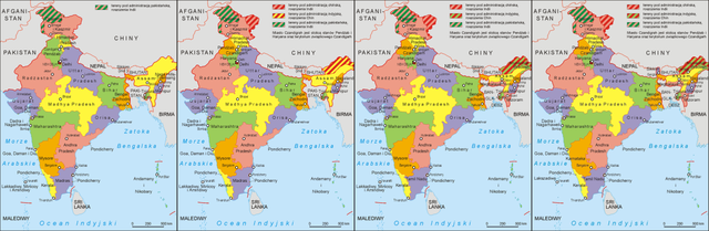
English: Territorial evolution of India 1961–1975
|
| Date | 31 December 2012, 03:40:09 |
| Source | http://pl.wikipedia.org/wiki/Wikipedysta:Aotearoa/mapy |
| Author | Original uploader was Aotearoa at pl.wikipedia |
Licensing
| This file is licensed under the Creative Commons Attribution-Share Alike 3.0 Unported license. | ||
|
![]() The categories of this image should be checked. Check them now!
The categories of this image should be checked. Check them now!
- Remove redundant categories and try to put this image in the most specific category/categories
- Remove this template by clicking here (or on the first line)
File usage on other wikis
Related galleries
File usage
The following pages on Schools Wikipedia link to this image (list may be incomplete):
Metadata
Schools Wikipedia and SOS Children
Schools Wikipedia has made the best of Wikipedia available to students. SOS Childrens Villages is an international children's charity, providing a good home and loving family to thousands of children who have lost their parents. We also work with communities to help vulnerable families stay together and raise children in the best possible environment. There are many ways to help with SOS Children's Villages.