
File:Irish Sea satellite image.jpg
Size of this preview: 363 × 480 pixels.
| |
This is a file from the Wikimedia Commons. Information from its description page there is shown below.
Commons is a freely licensed media file repository. You can help. |
Summary
| Description |
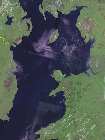
English: Satellite image of the Irish Sea from the NASA Blue Marble project.
Español: Mapa del Mar de Irlanda en el proyecto Blue Marble de la NASA.
|
| Date | 2012-06-15 19:49 (UTC) |
| Source | This file was derived from: |
| Author |
|
| This is a retouched picture, which means that it has been digitally altered from its original version. Modifications: Cropped. The original can be viewed here: Irish_Sea_4.82844W_53.54821N.png. Modifications made by Dr Greg.
|
Licensing
 |
This image is in the public domain because it is a screenshot from NASA’s globe software World Wind using a public domain layer, such as Blue Marble, MODIS, Landsat, SRTM, USGS or GLOBE.
|
|
File usage
The following pages on Schools Wikipedia link to this image (list may be incomplete):
Learn more about Schools Wikipedia
Learning is fun and easy with Schools Wikipedia. SOS Children is there for the children in our care until they are ready for independence. We have helped children in Africa for many years - you can help too...