
File:Minnesota State Capitol.jpg
Size of this preview: 640 × 414 pixels.
| |
This is a file from the Wikimedia Commons. Information from its description page there is shown below.
Commons is a freely licensed media file repository. You can help. |
|
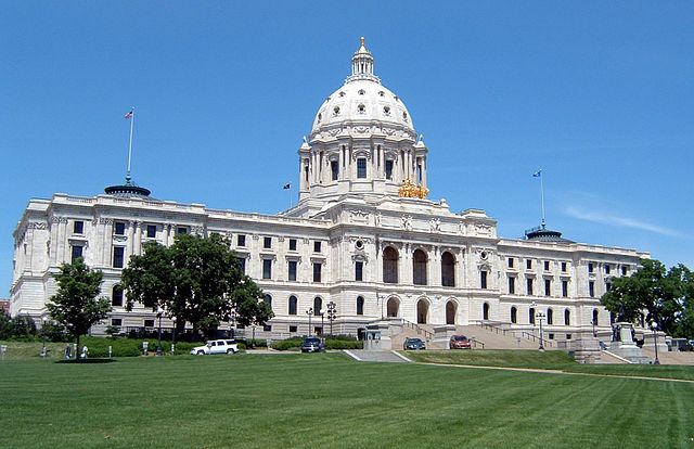
This is an image of a place or building that is listed on the National Register of Historic Places in the United States. Its reference number is 72000681. |
en:Minnesota State Capitol, photo taken on June 22, 2005 by User:Mulad. Hereby released into the public domain.
 |
This work has been released into the public domain by its author, Mulad. This applies worldwide. In some countries this may not be legally possible; if so: Mulad grants anyone the right to use this work for any purpose, without any conditions, unless such conditions are required by law.
|
| Annotations | This image is annotated: View the annotations at Commons |
|
Object location |
|
This and other images at their locations on: Google Maps - Google Earth - OpenStreetMap - Proximityrama | ( Info) |
|---|
File usage
The following pages on Schools Wikipedia link to this image (list may be incomplete):
Schools Wikipedia facts
You can learn about nearly 6,000 different topics on Schools Wikipedia. SOS Childrens Villages believes that a decent childhood is essential to a happy, healthy. Our community work brings families new opportunities through education, healthcare and all manner of support. Have you heard about child sponsorship? Visit our web site to find out.