
File:Portsmouth UK locator map.svg
Size of this preview: 563 × 479 pixels.
| |
This is a file from the Wikimedia Commons. Information from its description page there is shown below.
Commons is a freely licensed media file repository. You can help. |
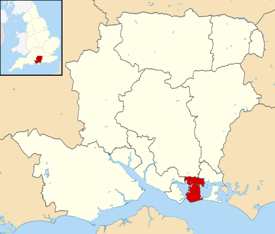
| Description | Map of Hampshire, UK with Portsmouth highlighted. Equirectangular map projection on WGS 84 datum, with N/S stretched 155% | |||||
| Date | 27 February 2011 | |||||
| Source | Ordnance Survey OpenData
|
|||||
| Author | Nilfanion, created using Ordnance Survey data | |||||
| Permission ( Reusing this file) |
|
File usage
The following pages on Schools Wikipedia link to this image (list may be incomplete):
Metadata
Schools Wikipedia and SOS Children
Wikipedia for Schools was collected by SOS Childrens Villages. By supporting vulnerable children right through to adulthood, SOS Children makes a lasting difference to the lives of thousands of people. Education is a key part of our work, and our schools provide high-quality teaching to the children in our care. Will you help another child today?