|  | This is a file from the  Wikimedia Commons. Information from its  description page there is shown below.Commons is a freely licensed media file repository.  You can help.
 | 


        Summary 


           | Description | 
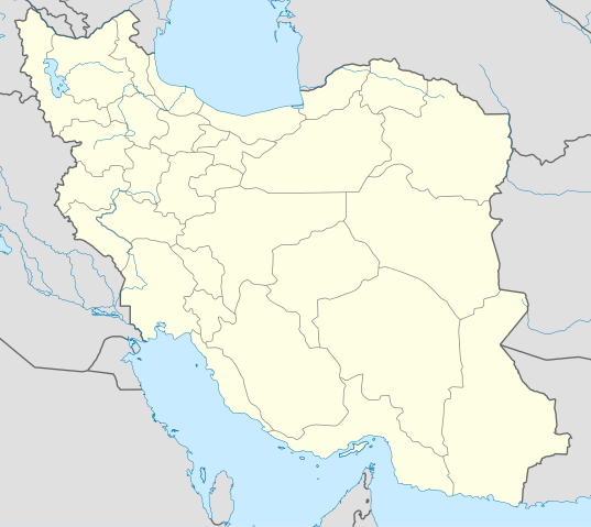
English: Location map of Iran.Equirectangular projection. Strechted by 118.0%. Geographic limits of the map: 
* N: 40.0° N
* S: 24.5° N
* W: 43.5° E
* E: 64.0° E
  Made with Natural Earth. Free vector and raster map data @ naturalearthdata.com. | 
          
           | Date | 18 February 2010 | 
          
           | Source | Own work | 
          
           | Author | Uwe Dedering | 
         
         
        Licensing 
        
         
          | I, the copyright holder of this work, hereby publish it under the following licenses: 
            You may select the license of your choice.
             |  | Permission is granted to copy, distribute and/or modify this document under the terms of the  GNU Free Documentation License, Version 1.2 or any later version published by the  Free Software Foundation; with no Invariant Sections, no Front-Cover Texts, and no Back-Cover Texts. A copy of the license is included in the section entitled  GNU Free Documentation License. http://www.gnu.org/copyleft/fdl.htmlGFDLGNU Free Documentation Licensetruetrue |  | 


       File usage
       
        The following pages on Schools Wikipedia link to this image (list may be incomplete):


       This file contains additional information, probably added from the digital camera or scanner used to create or digitize it. If the file has been modified from its original state, some details may not fully reflect the modified file.
        
      Wikipedia for Schools brings Wikipedia into the classroom. SOS Childrens Villages works in 133 countries and territories across the globe, helps more than 62,000 children, and reaches over 2 million people in total. Would you like to sponsor a child?