
File:Greater Johannesburg OpenStreetMap small.svg
| |
This is a file from the Wikimedia Commons. Information from its description page there is shown below.
Commons is a freely licensed media file repository. You can help. |
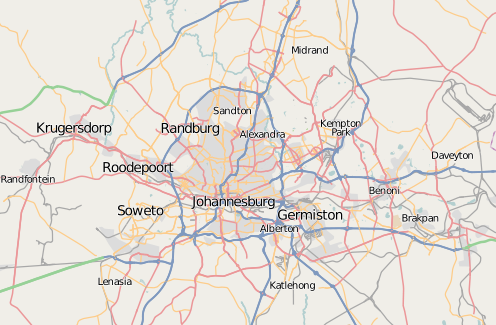
| Description | This map of Greater Johannesburg was created from OpenStreetMap project data, collected by the community. This map may be incomplete, and may contain errors. Don't rely solely on it for navigation.
|
||||||||||||
| Date | (see file history) | ||||||||||||
| Source | openstreetmap.org | ||||||||||||
| Author | OpenStreetMap contributors | ||||||||||||
| Permission ( Reusing this file) |
OpenStreetMap data and maps are licensed under the Creative Commons Attribution-ShareAlike 2.0 license (CC-BY-SA 2.0).
|
||||||||||||
File usage
The following pages on Schools Wikipedia link to this image (list may be incomplete):
Metadata
Schools Wikipedia and SOS Children
Wikipedia for Schools is one of SOS Childrens Villages' many educational projects. SOS Children's Villages helps those who have nothing and no one, giving them back the famly they have lost and bringing them the very best opportunities for a happy, healthy future. There are many ways to help with SOS Children's Villages.